Alpine Environments
Interactive exploration of 11 iconic Alpine sites across the French Alps and Pyrenees. 3D-printed topographic models, WebGL viewer, IGN topographic maps and full geospatial data — a teaching tool designed for geography lessons.
Explore →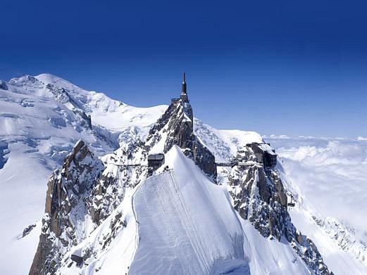
Cartography & 3D Landforms
Starting from a LiDAR-derived Digital Elevation Model, this project creates a 3D-printed topographic model of the Fer-à-Cheval cirque (Haute-Savoie). Paired with precisely matched IGN maps, it helps students understand the relationship between 2D cartographic representations and real-world landforms.
Discover →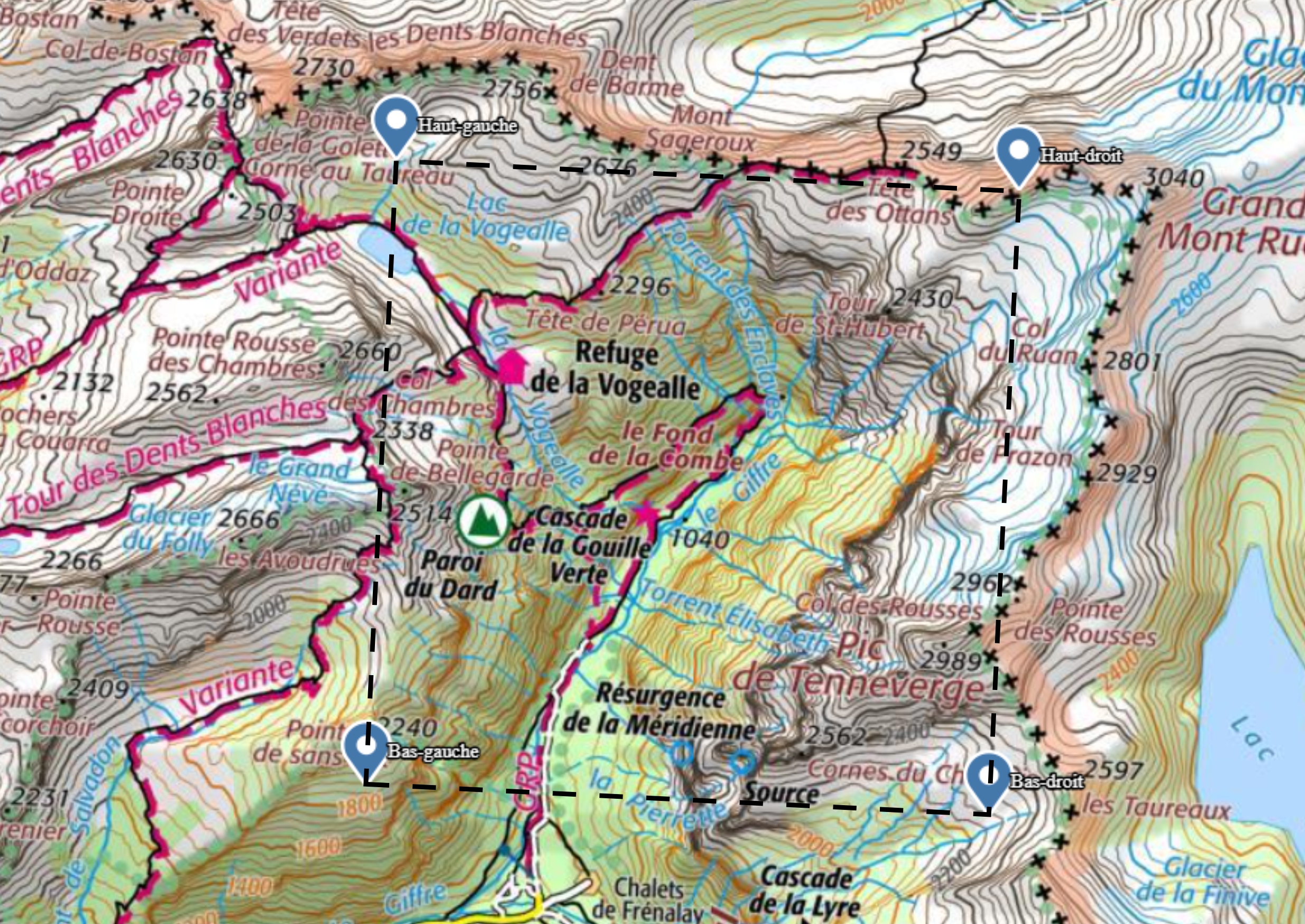
Mass Mover Challenge
Online calculators and reference formulas for the Year 9 Mass Mover Challenge — a collaboration between the Design and Science departments at Campus des Nations.
Calculators →
Students build a complete website from scratch — structuring content with HTML, styling with CSS, building responsive layouts with Bootstrap and adding interactivity with JavaScript. The goal is to get hands-on with the real building blocks of the web: understanding how a browser reads markup, how a page is rendered, and what it takes to go from a blank file to a live site served in production conditions.
2025 / 2026
-
 AB
GCC Travel Guide
AB
GCC Travel Guide
-
 AK
Popular Tourist Destinations
AK
Popular Tourist Destinations
-
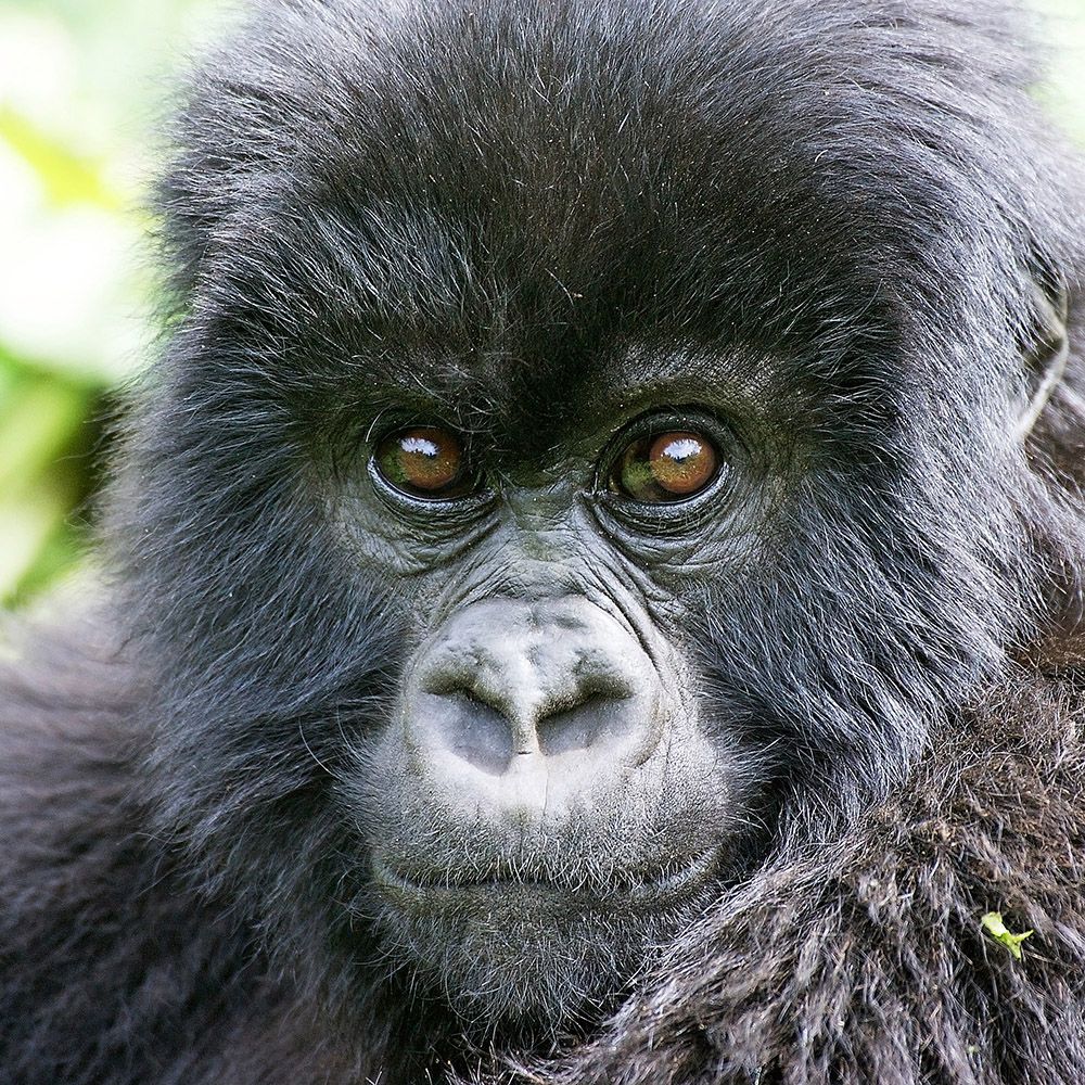 AN
Disease
AN
Disease
-
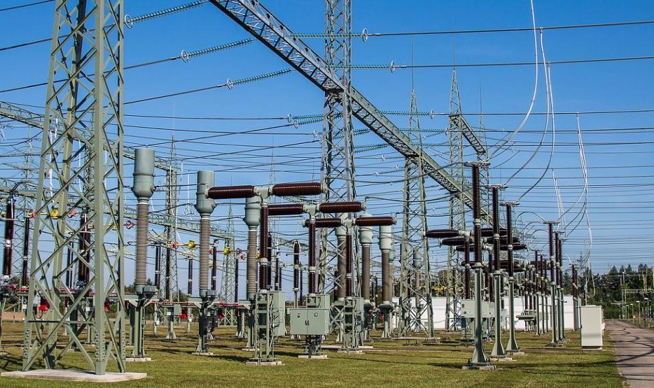 DI
High Voltage
DI
High Voltage
-
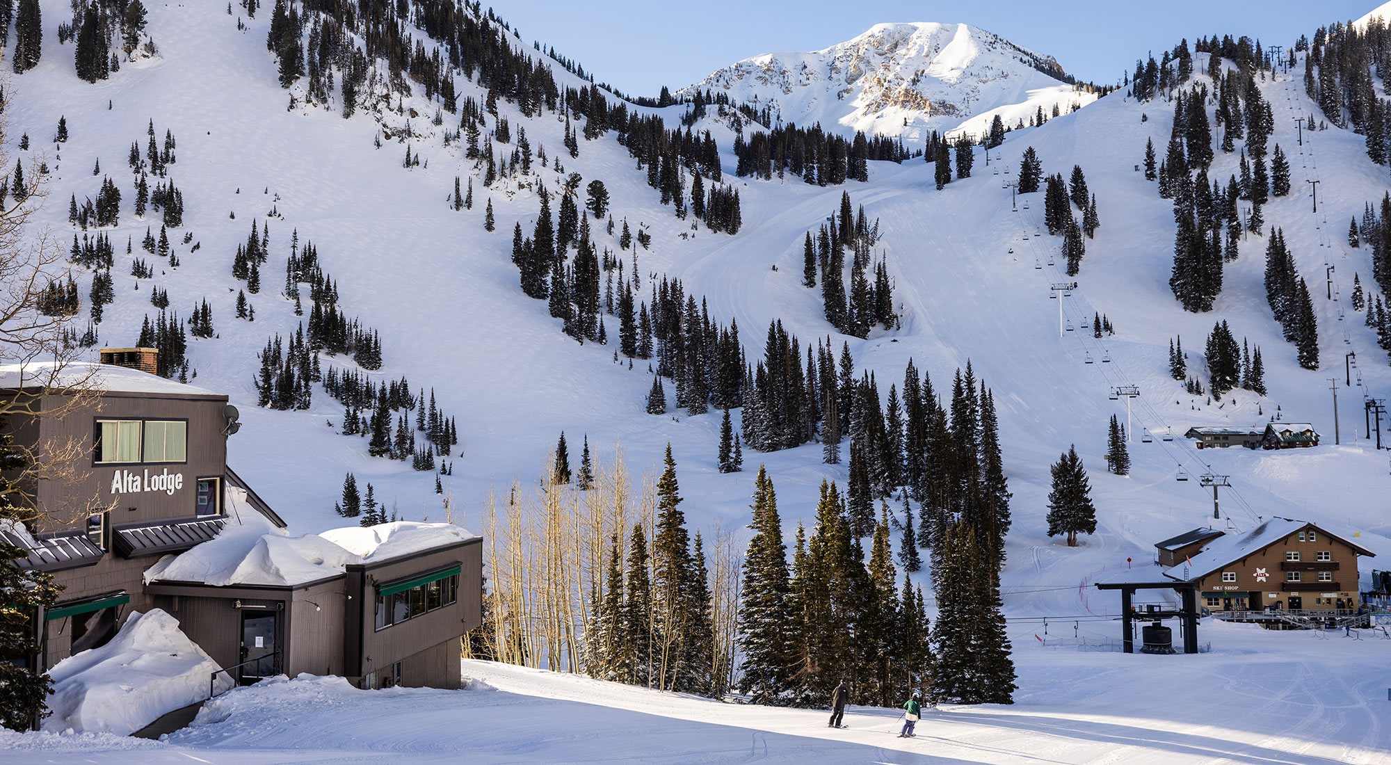 FJ
Great Ski Resorts
FJ
Great Ski Resorts
-
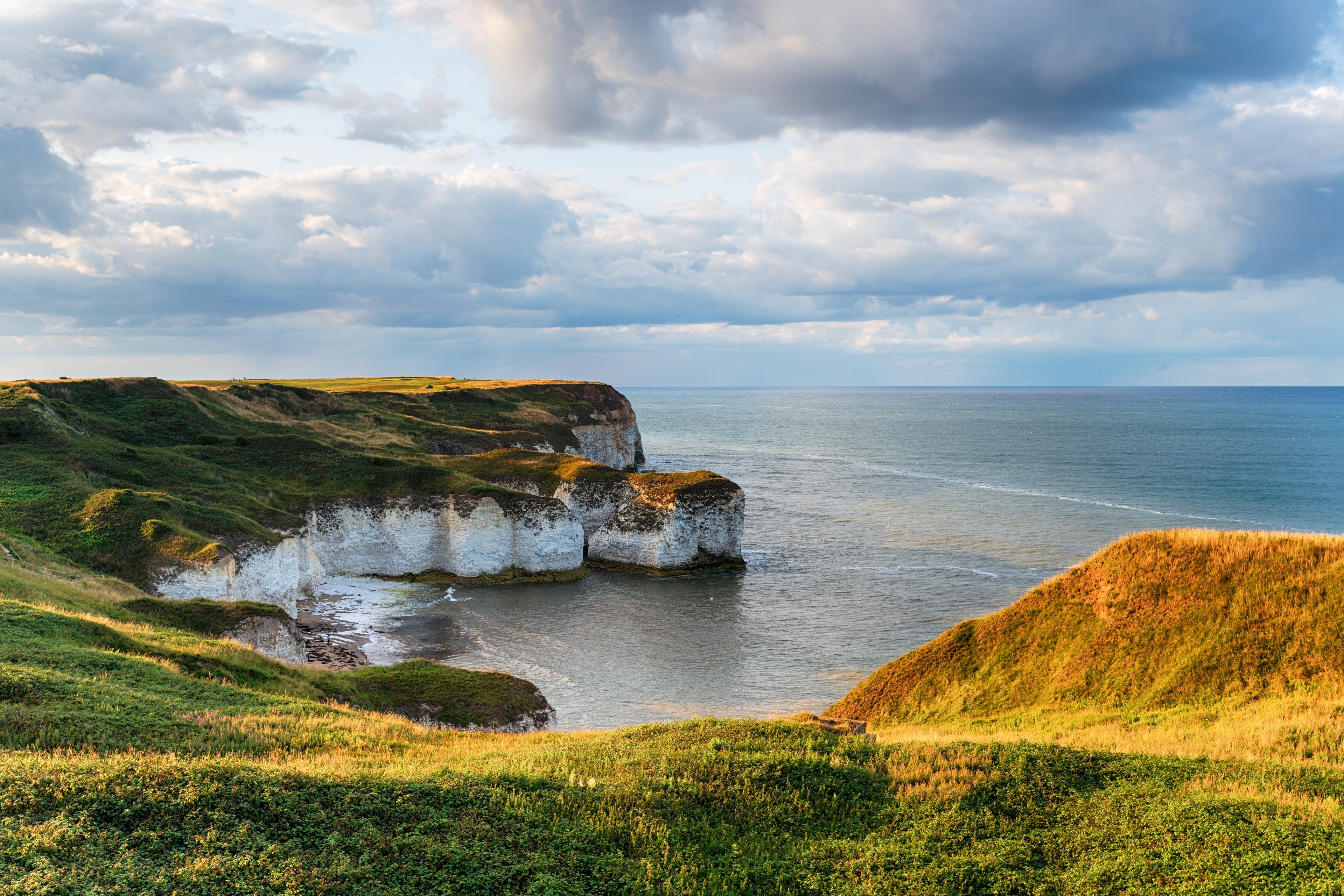 HA
East Riding of Yorkshire
HA
East Riding of Yorkshire
-
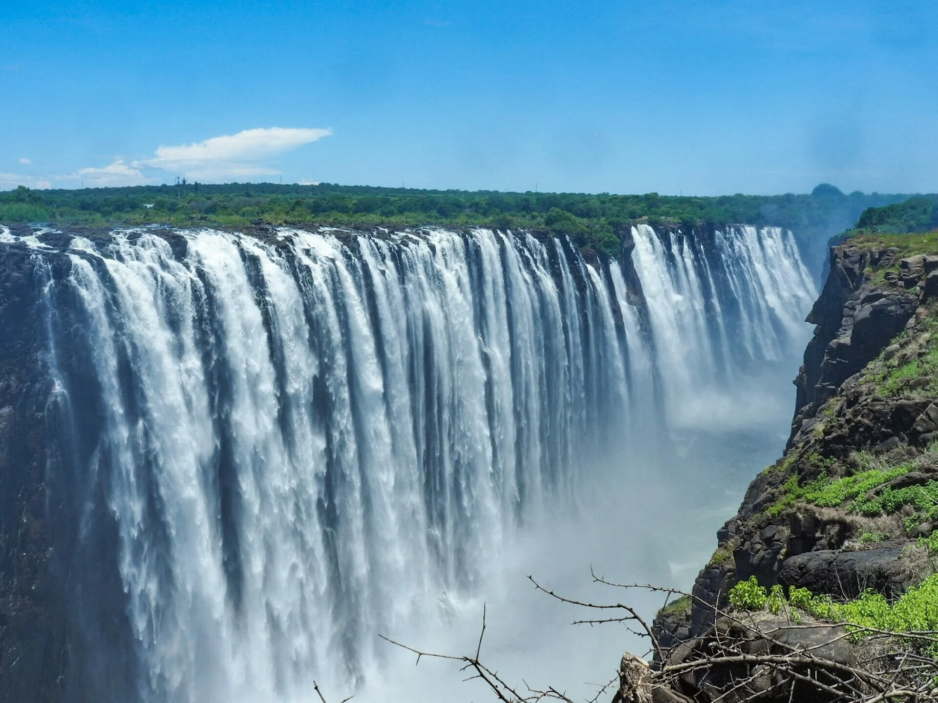 HN
Zambia Tourist Attractions
HN
Zambia Tourist Attractions
-
 JM
About Me
JM
About Me
-
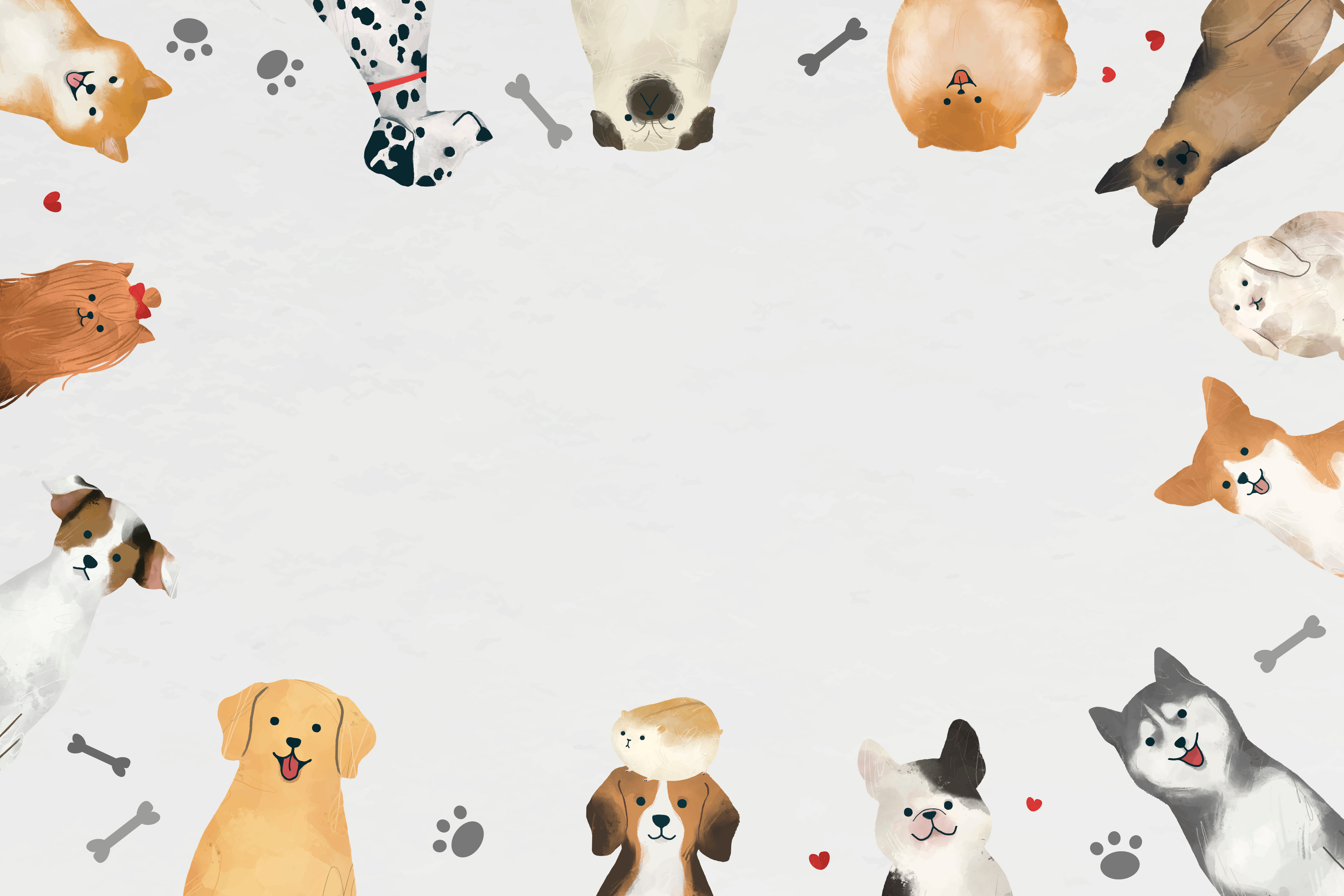 LSZ
Pet Website
LSZ
Pet Website
- MAF Portfolio
-
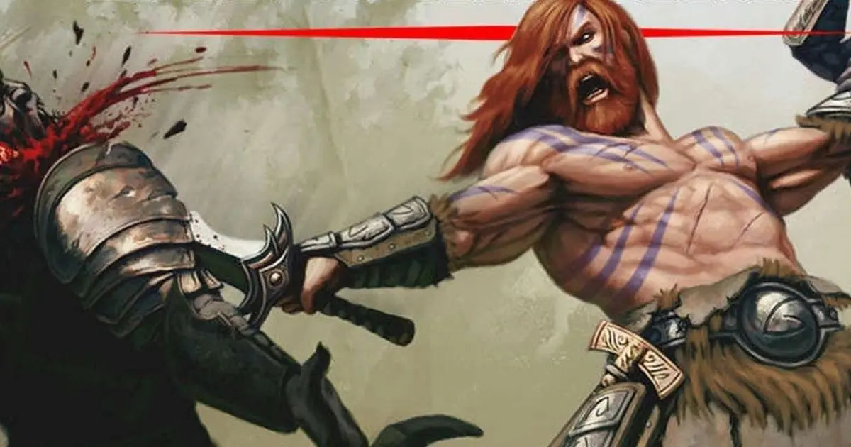 MS
DnD 101
MS
DnD 101
-
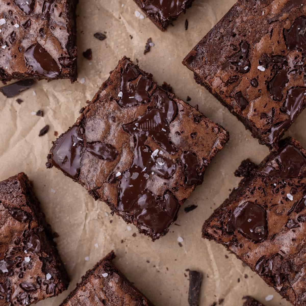
 OS
How To Be Healthy!
OS
How To Be Healthy!
-
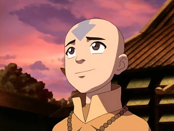 RAT
Avatar / Airbending
RAT
Avatar / Airbending
- SR Travel Website
-
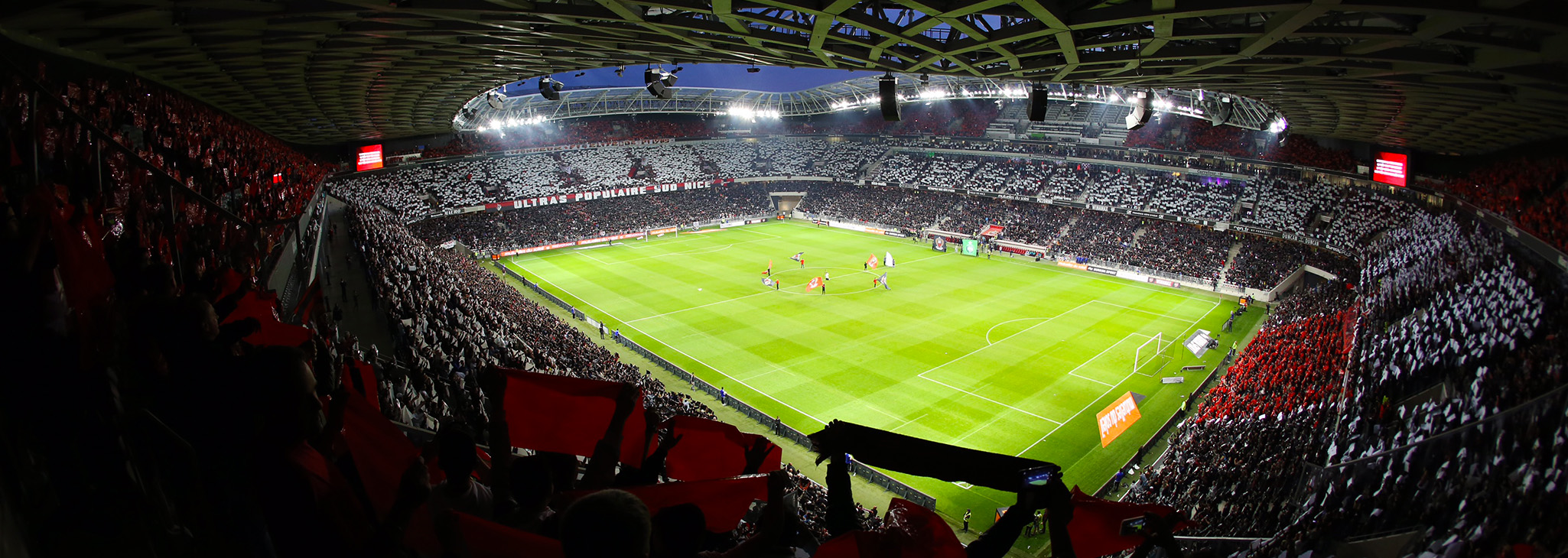 TL
What to do in France
TL
What to do in France